Internet and mobile coverage in a NZ campervan
Best NZ SIMs for travellers, signal blackspots, and roaming reality.
- wet-weather-plan
- busy-summer
- pack-snacks
- quiet-roads
- kea-territory
On a still campground morning, the kettle clicks off before the phone finds a bar, and the map feels suddenly more like a travelling companion than an app. That is often the moment good planning starts to feel useful.
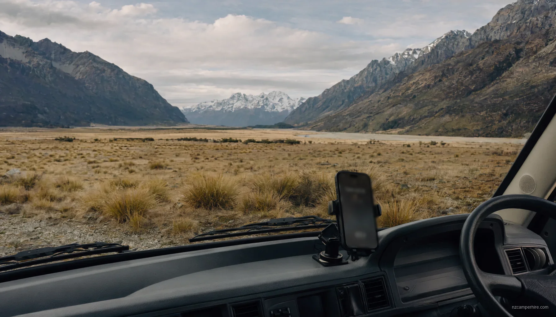
New Zealand is easy to navigate with a phone in the cities. It gets more patchy once you point a campervan at Fiordland, the West Coast, Northland, Tongariro or the road to Aoraki/Mount Cook.
Most travellers should plan on a local SIM or eSIM, offline maps, and a little patience with campsite Wi-Fi. International roaming is useful as a backup, but it does not create signal where the hills, bush and distance get in the way.
Get the planning checklist — and reply with your dates if you'd like a planner to flag the mobile and Wi-Fi gotchas for your route.
How coverage really works once you leave the airport
Auckland, Christchurch, Queenstown, Rotorua and the Bay of Islands all have normal urban mobile coverage. You can land, buy a prepaid SIM or activate an eSIM, and use maps, messaging and banking without drama. Coverage usually follows the state highways and towns. It thins out in valleys, mountain passes, forests and coastal bends.
New Zealand has three main mobile networks: Spark, One NZ and 2degrees. All publish coverage maps. Check the map for the actual places you will sleep, not only the places you will visit at midday. A campground 12 km down a gravel lakeside road can be very different from the town centre.
5G exists in the bigger centres, but a campervan trip still runs on 4G for most practical purposes. On rural roads you may drop to 3G or no service. Emergency calls to 111 may connect through any available network, but only if some network signal is present.
SIM, eSIM or roaming: what suits a campervan trip
A local prepaid SIM is still the simplest choice for many first-time visitors. You can get one at Auckland Airport, Christchurch Airport, in city phone shops, and at larger supermarkets or petrol stations. An eSIM is cleaner if your phone supports it, because you can activate it before you leave home and keep your home number available for banking messages.
Roaming is convenient for day one. It is rarely the whole answer for a 10 to 14 day campervan route. It can be expensive, throttled after a fair-use limit, and tied to one partner network. If that partner network has no service near Mavora Lakes or on parts of SH6 south of Haast, roaming will not help.
For a South Island in 14 days route, plan for higher data use: weather checks, ferry or activity emails, road condition pages, and maps. For a North Island in 10 days route, coverage is generally easier, but do not assume constant service around Cape Reinga, rural Northland, or between Rotorua and Tongariro National Park.
Blackspots to plan around before the keys are in your hand
The problem is not that New Zealand has no coverage. The problem is that the gaps often sit exactly where visitors most need a map, a weather update, or a message to a campground.
- SH94 to Milford Sound: Queenstown to Milford Sound is about 287 km and 4.5 to 5.5 hours each way in real driving. After Te Anau and along the Milford Road, coverage becomes unreliable or absent for long stretches. Download maps and check avalanche, tunnel and road notices before leaving Te Anau.
- SH6 on the West Coast: Haast to Fox Glacier is about 122 km and 2 to 2.5 hours. Expect gaps around Haast Pass, Lake Moeraki and coastal bush sections. Do not leave fuel, food or campground calls until late.
- SH8 and the Mackenzie Country: Christchurch to Lake Tekapo is about 225 km and 3 to 3.5 hours. Coverage is mostly workable near towns, but it can fade around Lake Pukaki, back roads and DOC sites. White Horse Hill near Aoraki/Mount Cook is a place to arrive prepared.
- SH73 over Arthur's Pass: Christchurch to Hokitika is about 245 km and 4 to 4.5 hours. Mountain weather, kea curiosity at car parks, and weak signal can all arrive together.
- Northland: Auckland to the Bay of Islands is about 230 km and 3.5 to 4.5 hours. Coverage is usually fine near towns, then patchier north of Whangārei and on side roads toward bays and headlands.
Campsite Wi-Fi, power and the metal-van problem
Holiday park Wi-Fi is a useful extra, not a promise. In busy months, especially January and February, a full park can slow to a crawl at 8 pm when everyone uploads photos and streams video. Some parks include a modest allowance. Others charge, limit devices, or restrict streaming.
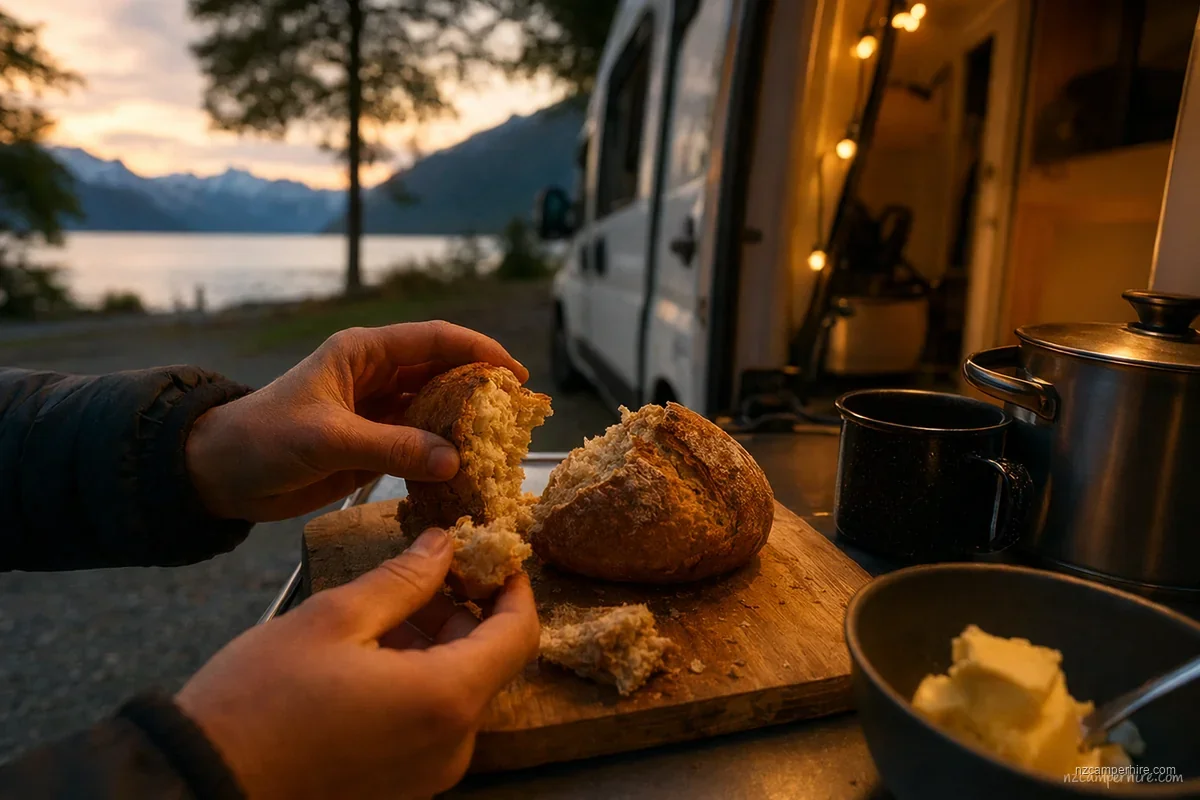
Places such as Creeksyde Queenstown, Rotorua Thermal Holiday Park, Russell Top 10 and North South Holiday Park in Christchurch are better bases for admin than remote DOC sites. At DOC campsites such as Cascade Creek, Mavora Lakes or Lake Pukaki, expect little or no Wi-Fi and be pleased if your phone gets a bar. The trade-off is that remote campsites give you quiet nights, but often take away the easy admin you meant to do after dinner.
A campervan body can weaken signal. If reception is marginal, try the phone near the windscreen, outside the van, or on a picnic table while stationary. Do not hold a phone while driving. Waka Kotahi NZ Transport Agency rules require drivers to keep control and only use phones in permitted hands-free situations. New Zealand drives on the left, so keep navigation simple before moving.
Offline habits that save long driving days
Download Google Maps or Apple Maps areas before each rural leg. Also save the campground address, gate code, check-in notes, fuel stops and a screenshot of your route. A paper-style road atlas still earns its space in a motorhome, because it shows alternate roads when a slip, crash or snow gate changes the day.
The best offline map is the one you download while the laundry hums and the holiday park Wi-Fi is still feeling generous.
Check weather and road status in the morning, not halfway through a pass. Waka Kotahi has highway condition updates. MetService is the normal weather source. DOC has alerts for tracks and campsites. Tourism NZ has general visitor safety information, but for road, weather and campsite decisions, go straight to the operating authority.
Tell someone your rough plan before long no-service sections. This matters on drives such as Queenstown to Milford Sound, Christchurch to the West Coast via Arthur's Pass, and Rotorua to Tongariro if you are adding walks. The practical guide to driving on the left and the South Island in 10 days route pair well with this page when you are building the daily plan.
Rules and practicalities are easier to remember when you've felt them — the cold of a wet boot at a freedom camp, the relief of an early ferry slot. This guide is written from those moments, not from a checklist.
Related reading
 ROUTE
ROUTE North to South in 14 days
Two-week full-NZ — fast-paced but covers North Island highlights, ferry, and South Island core.
See the route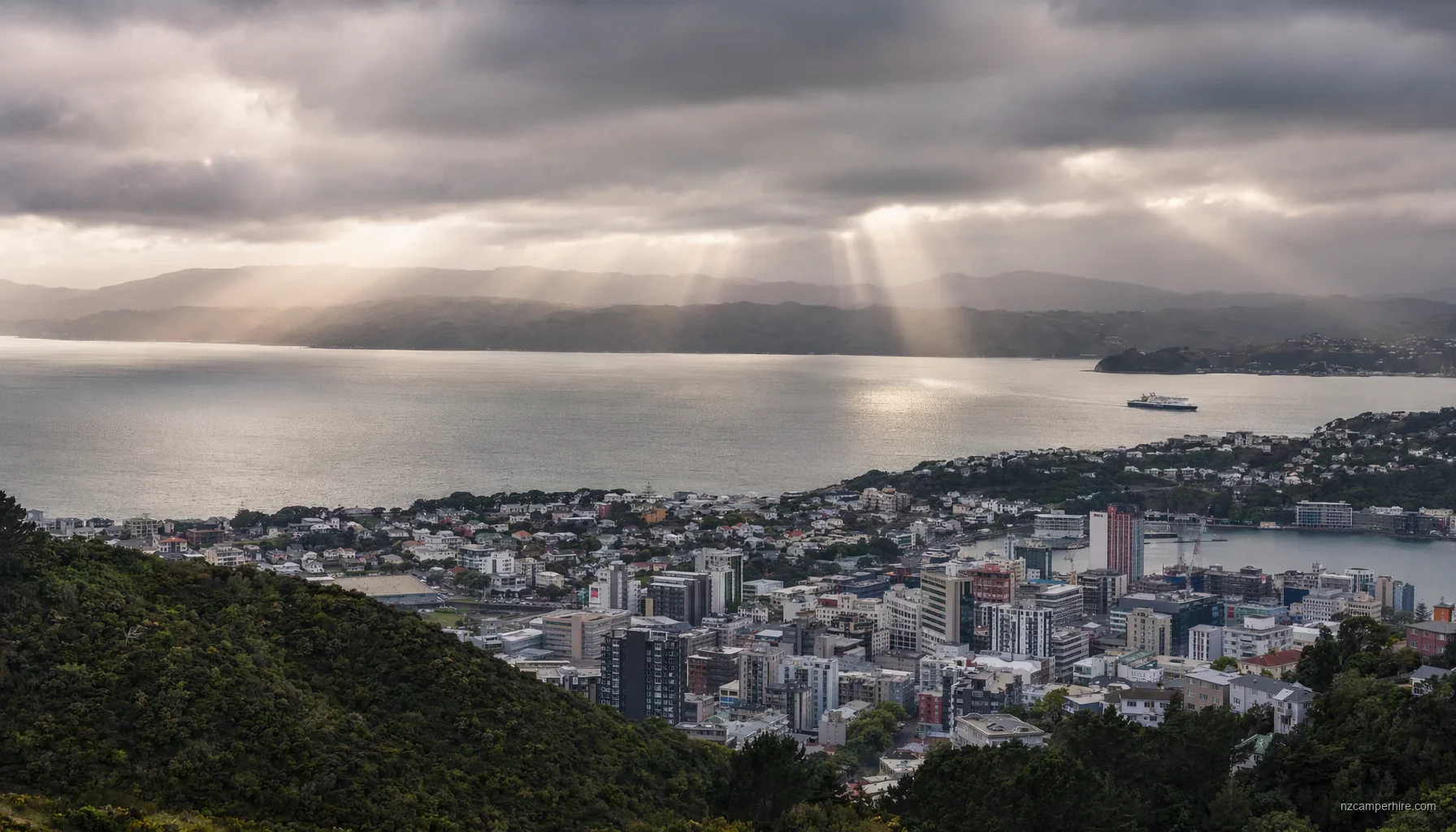 REGION
 Wellington
Capital city and Cook Strait ferry port. The pivot point between islands.
See the region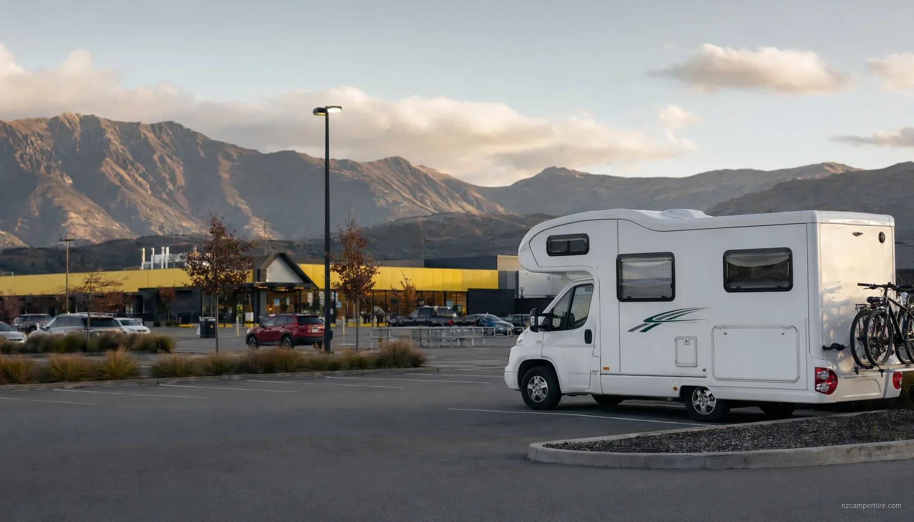 PRACTICAL GUIDE
 Food, groceries, and cooking
NZ supermarket chains, what's expensive, what to stock for a multi-week trip.
Read the guideInternet and mobile in a NZ campervan FAQ
Which NZ mobile network is best for a campervan trip?
Can I rely on holiday park Wi-Fi instead of buying mobile data?
Is there mobile signal on the road to Milford Sound?
Can I use my phone for navigation while driving in New Zealand?
Do petrol stations have Wi-Fi or places to dump data-heavy tasks?
Have a planner answer this for your specific trip
Rules and practicalities depend on dates, party size, and route. Send us your outline and we'll come back with answers tailored to your trip.